Geolocation Challenges: How to Add the Real World to Your Digital Scavenger Hunts
The best scavenger hunts don't happen only on a screen. They happen in parks, squares, streets, and spaces where people run, search, discover, and compete. Geolocation is the bridge between digital and physical.
What is a geolocation challenge
The concept is simple: you define secret GPS coordinates. Participants receive a clue and must physically travel to that point. When they arrive, they tap a button to confirm their location and the server verifies they're in the right place. Once verified, the next challenge unlocks.
Why they work so well
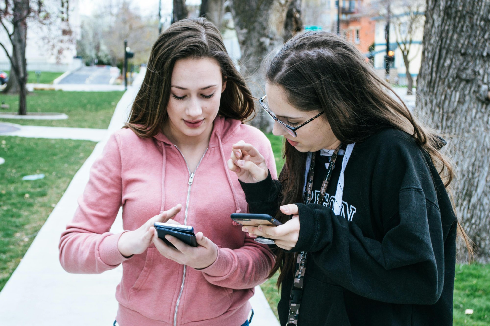
Physical movement. They break the inertia of sitting and staring at a screen. Energy levels skyrocket.
Environment discovery. An urban scavenger hunt through the old town turns everyday streets into an adventure scene.
Real coordination. When you need to decide which way to go, who reads the map, and who runs fastest, teams organize naturally. It's team building in its purest form.
How to design great GPS challenges
Choose accessible points, adjust the verification radius (15-30 meters), combine physical arrival with digital challenges, and add narrative. "Go to coordinates 41.3851, 2.1734" is functional but boring. "The spy's last message was intercepted near a fountain in the main square. Find the exact spot and crack the code" is an adventure.
The time factor
A visible countdown that turns red in the last 2 minutes creates controlled urgency. Teams that hurry can earn a time bonus.
Want to create a scavenger hunt with geolocation challenges? Start free at PlayChallenges and combine the real world with digital challenges.